


The story of Evington in the 19th and 20th centuries is similar to that of other areas of the city.
Maps of the area around Evington Road between 1840 and 1956 show a steady broadening of local development as new housing and industry spread out from the city centre. This brought new shops, schools, pubs, and places of worship.
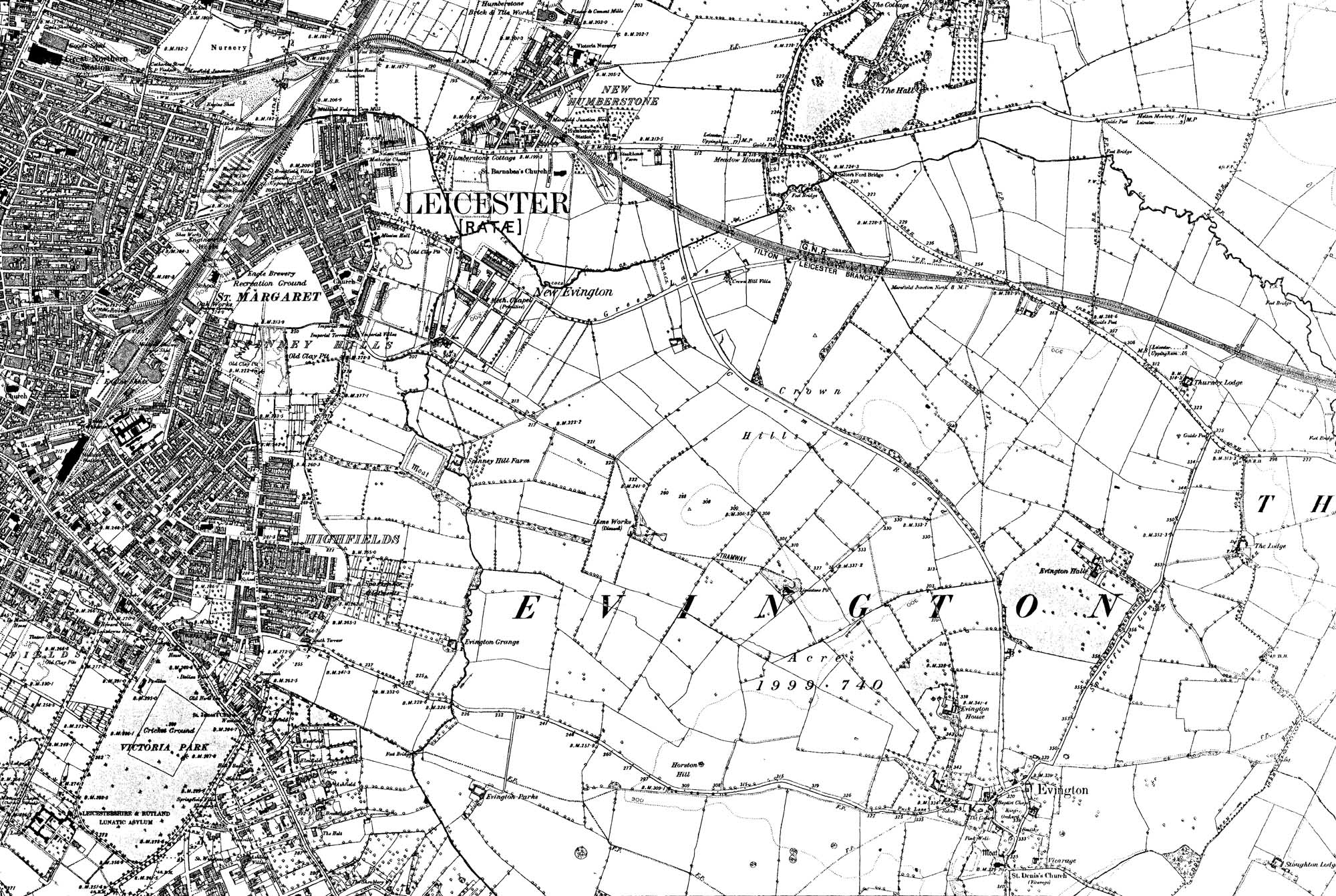
A map from 1888 showing Evington
Despite periods of unemployment and recession, Leicester was a prosperous and industrious place for many years in this period. It was “the city that clothed the World”. We can look at the beautiful Victorian and Edwardian houses on Evington Road and imagine what it might have been like to have been doing well and living there, or raising your family in one of the nearby terraced streets.
Evington village became part of the city in 1935. Today, Main Street has an urban village feel, with a mix of older and newer buildings. There is a village green, a chapel, a church, and a pub, with parkland and fields nearby. Also nearby are several secondary schools and housing estates that were built to support a growing city.